Geometric Patterns in Urban Flood Dynamics
In the realm of disaster geometry, understanding the intricate relationship between urban layouts and flood patterns is crucial for effective hazard assessment and risk mapping. This study delves into how the geometric configurations of city infrastructure influence the severity and distribution of flooding during extreme precipitation events.
The Grid Effect
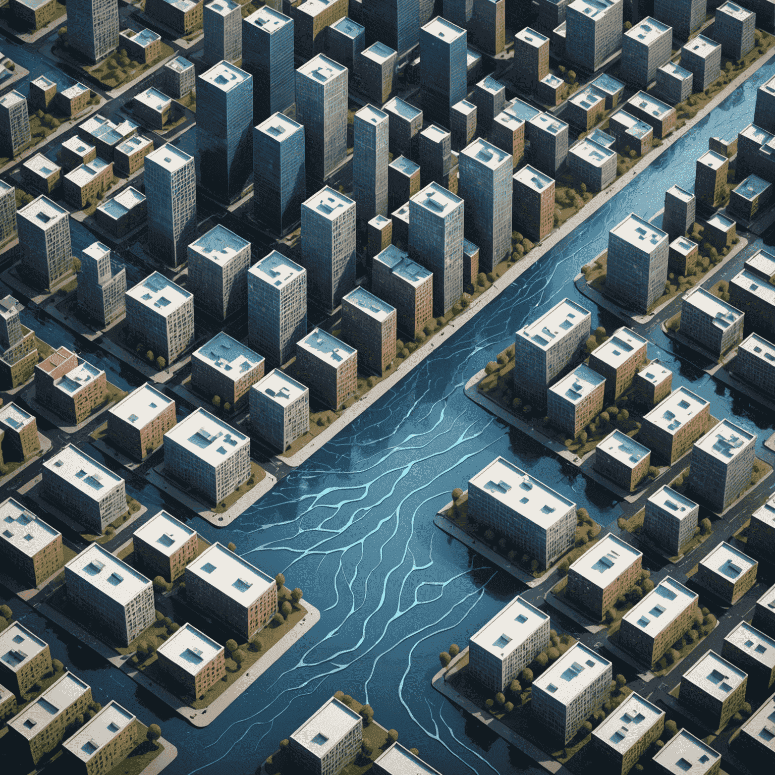
Urban planners and disaster analysts have long recognized that the geometric layout of streets and buildings plays a significant role in flood dynamics. Our research utilizes advanced geospatial risk modeling to examine how different grid patterns affect water accumulation and flow:
- Rectangular grids: Common in many cities, these layouts can create channeling effects, potentially exacerbating flood severity in certain areas.
- Radial patterns: Circular city designs may distribute floodwaters more evenly but can lead to central pooling.
- Irregular layouts: Organic growth patterns in older cities present unique challenges for flood prediction and mitigation.
Infrastructure Geometry and Water Flow
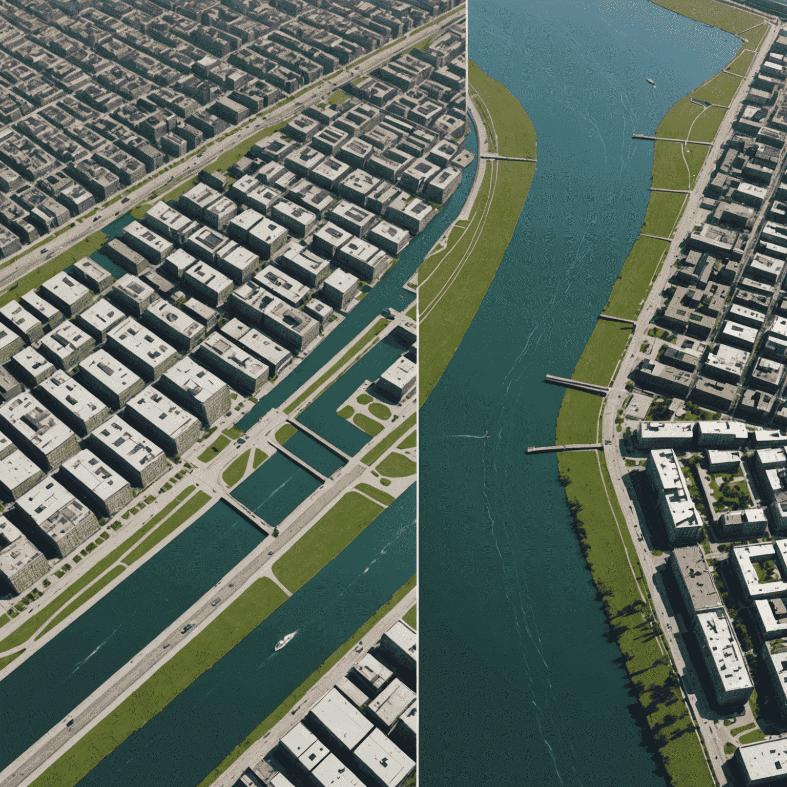
The shapes and orientations of urban structures significantly impact flood patterns. Our crisis modeling techniques have revealed:
- Building orientation: Skyscrapers and their alignment can create wind tunnels that affect rainfall distribution.
- Road curvature: The degree of road bending influences water velocity and accumulation points.
- Green space design: The geometric layout of parks and open areas can serve as natural flood buffers or exacerbate flooding if poorly designed.
Leveraging Geometry for Flood Resilience
By understanding these geometric relationships, we can enhance structural resilience and improve impact forecasting. Our research suggests several strategies:
- Implementing strategically placed flood channels based on urban geometry analysis.
- Designing "water-smart" buildings with shapes that help divert floodwaters.
- Utilizing advanced 3D modeling for more accurate catastrophe data and emergency analytics.
Conclusion
The study of geometric patterns in urban flood dynamics represents a crucial intersection of disaster analysis and urban planning. By leveraging these insights, cities can develop more effective flood mitigation strategies, enhancing their resilience to extreme weather events. As we continue to face the challenges of climate change, understanding the geometry of urban disasters becomes increasingly vital for creating safer, more adaptable urban environments.